CONSTRUCTION LAYOUT
Construction Layout Services
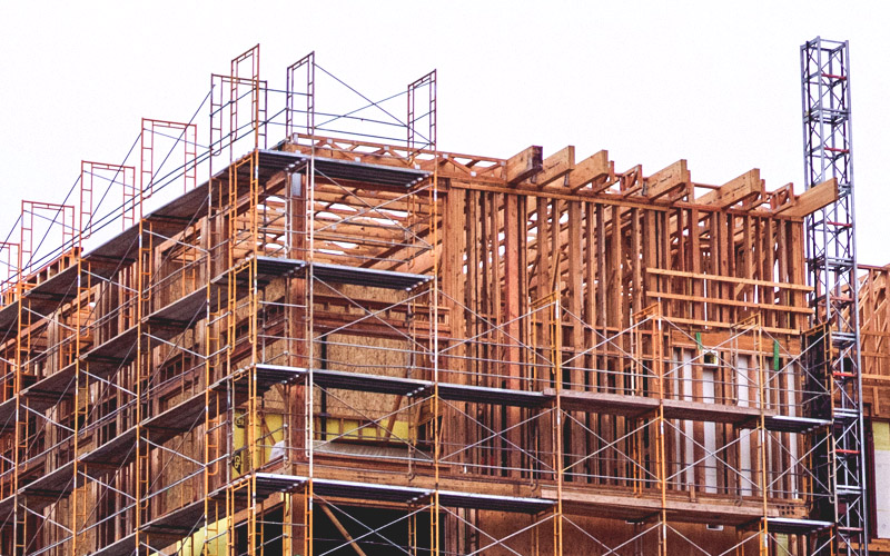
Construction layout is crucial because it ensures the accurate translation of design plans into physical structures, minimizing errors and discrepancies during the construction process. By precisely marking the location of foundations, utilities, and other elements on the site, construction layout services contribute to the overall efficiency, quality, and successful completion of a construction project while adhering to design specifications.
Residential and Commercial Construction Layout
We ensure precise positioning of structures and infrastructure elements for both residential and commercial projects, facilitating accurate implementation of design plans.
Foundation and Column Line Layout
We meticulously establish the precise positioning of foundations and column lines, ensuring accuracy in the fundamental elements of the construction process.
Utility Layout
Expertly establishing precise utility layouts, ensuring optimal placement and accuracy for seamless integration within construction projects.
Roadway Layout
Exceling in roadway layout, we provide precise measurements and markings to ensure accurate implementation of design plans for efficient and safe road construction.
Volumetric Computations
Deformation Surveys
Office Support
Related Services
Surveying Services
Precise measurement and mapping of the Earth’s surface to determine property boundaries, topography, and the location of features, essential for various construction, development, and land management applications.
Mapping / GIS
Precise measurement, representation, and analysis of geographic data to create accurate maps essential for land development, infrastructure planning, and decision-making.
CAD Drawings
Utilizing advanced computer-aided design technology to transform collected field data into detailed and accurate digital maps, plans, and drawings for a range of engineering and land development applications. We can also use data or maps you provide to digitize!


