WETLAND DELINATION
Navigating Wetland Delineation with First Sight Surveying
Wetland delineation is a critical step in land development and environmental preservation. At First Sight Surveying, we specialize in providing expert wetland delineation services to help you make informed decisions about your project.
Understanding Wetland Delineation
Wetland delineation is the process of identifying and mapping wetland areas on a property. It involves a comprehensive assessment of the site’s soil types, vegetation, and hydrology. This information is crucial for regulatory compliance and project planning.


The Importance of Wetland Delineation:
- Environmental Compliance: Wetlands are protected by various state and federal regulations. Accurate delineation ensures compliance with these regulations.
- Project Planning: Delineation results inform project planning, helping to avoid or mitigate impacts on wetlands.
- Environmental Conservation: Identifying and protecting wetlands is essential for preserving the ecological balance and biodiversity.
Our Wetland Delineation Services:
At First Sight Surveying, we offer a full range of wetland delineation services, including:
Field Assessments:
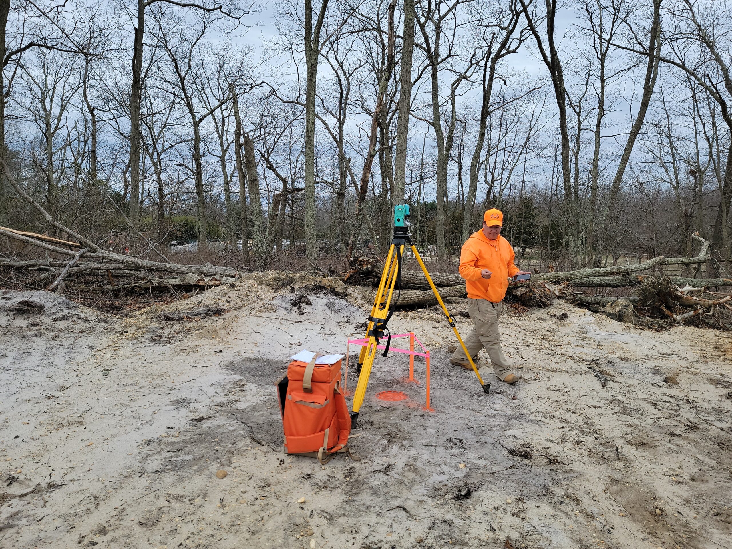
Our experienced team conducts on-site assessments to identify wetland boundaries and characteristics.
Regulatory Expertise:
We stay updated on the latest wetland regulations to ensure compliance with all requirements.
Mapping and Reporting:
We provide clear, detailed reports and maps for your records and regulatory submissions.
Mitigation Planning:
If wetland impacts are unavoidable, we assist in developing mitigation plans to minimize environmental harm.
Why Choose First Sight Surveying?
Our small, professional land surveying practice in northern New Jersey is dedicated to precision, professionalism, and client satisfaction. We combine expertise with state-of-the-art technology to ensure that your wetland delineation is accurate and thorough. By choosing First Sight Surveying, you’re making an environmentally responsible choice for your project.
Contact us today to discuss how our wetland delineation services can benefit your development while preserving our natural resources.
Call For a Quote:
(346) 234-6973
Related Services
Mapping
Precise measurement, representation, and analysis of geographic data to create accurate maps essential for land development, infrastructure planning, and decision-making.
Construction Layout
The precise marking and positioning of structures and features on a construction site based on approved plans, ensuring accurate implementation of design specifications.
CAD Services
Utilizing advanced computer-aided design technology to transform collected field data into detailed and accurate digital maps, plans, and drawings for a range of engineering and land development applications. We can also use data or maps you provide to digitize!
F.A.Q.
1: What is Land Surveying, and Why Do I Need It?
Land surveying is the process of precisely measuring and mapping the physical features of a piece of land. You might need it for property boundary determination, construction planning, property development, and legal documentation. Surveying is essential for efficient land use and to avoid property boundary disputes.
2: How Does 3D Laser Scanning Work?
3D laser scanning is a technology that captures detailed three-dimensional data using laser beams. It works by emitting laser pulses and measuring the time they take to bounce back. This data is then used to create digital representations of objects or environments with exceptional precision and accuracy.
3: What's the Difference Between ALTA/NSPS Surveys and Boundary Surveys?
An ALTA/NSPS survey is a comprehensive survey adhering to specific standards set by the American Land Title Association and the National Society of Professional Surveyors. It provides an extensive overview of a property’s features, encumbrances, and land title information. In contrast, a boundary survey primarily focuses on determining property lines and boundaries for legal or property dispute purposes.
4: How Long Does a Land Survey Typically Take?
The duration of a land survey can vary based on project size and complexity. A simple residential survey might take a few hours, while a large-scale topographic survey could take days or weeks. Discuss the timeline with your surveyor based on your specific project needs.
5: Why Choose First Sight Surveying for Wetland Delineation?
First Sight Surveying specializes in providing expert wetland delineation services. Our experienced team conducts field assessments, stays updated on wetland regulations, and provides detailed reports and maps. We aim to help you make environmentally responsible choices for your project while preserving natural resources.


