FEMA FLOOD ELEVATION SURVEYS
First Sight Surveying is your trusted partner for FEMA Flood Elevation Surveys, providing essential services for homeowners, businesses, and communities in areas prone to flooding. Our surveys play a vital role in flood risk assessment, insurance compliance, and floodplain management.
The Importance of FEMA Flood Elevation Surveys
FEMA floor elevation surveys are crucial for assessing and mitigating flood risks, as they provide accurate data on the elevation of structures, helping homeowners, communities, and insurance agencies make informed decisions to enhance resilience and reduce vulnerability to flooding.
1. Flood Risk Assessment:
FEMA Flood Elevation Surveys provide a clear understanding of the flood risk in a particular area. This information is essential for homeowners, businesses, and local authorities to prepare for and mitigate flood-related challenges.
2. Insurance Compliance:
Many homeowners and businesses in high-risk flood zones are required to have flood insurance. FEMA Flood Elevation Surveys help determine insurance rates, ensuring that property owners pay the appropriate premiums.
3. Floodplain Management:
Local governments use FEMA surveys to manage and regulate floodplains effectively. They can make informed decisions about land use and development to minimize flood-related damage.
4. Community Safety:
By conducting these surveys, communities can create floodplain maps and implement measures to protect residents and property.
Our FEMA Flood Elevation Survey Services
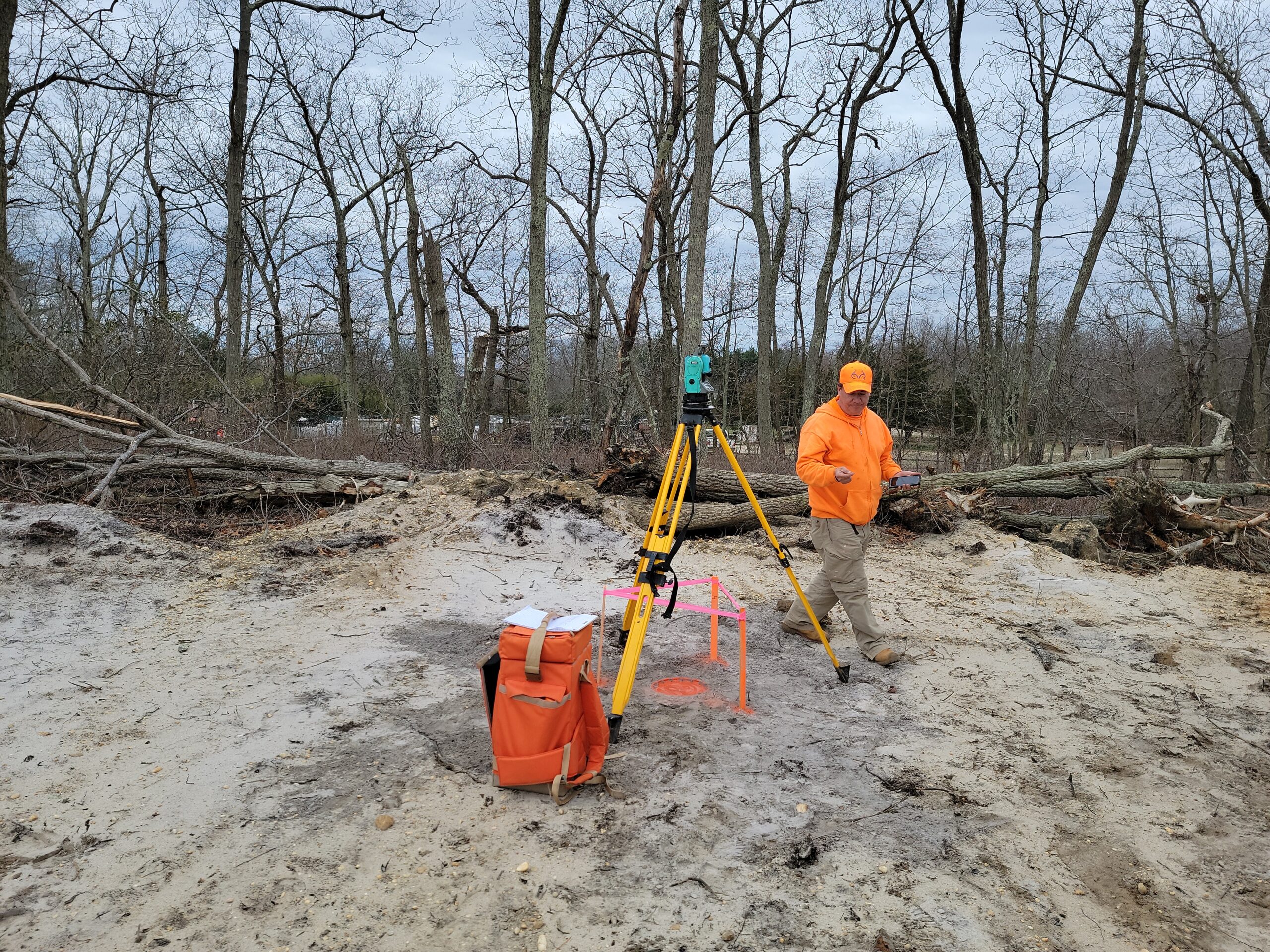
At First Sight Surveying, we have a dedicated team of experienced surveyors who specialize in FEMA Flood Elevation Surveys. We use state-of-the-art equipment and techniques to collect accurate elevation data. Our surveys are designed to help property owners and communities make informed decisions about flood risk and floodplain management.
By choosing our services, you’re choosing a partner committed to flood safety and resilience. Contact us today to schedule your FEMA Flood Elevation Survey and take the necessary steps to protect your property and community from potential flood hazards.
Call For a Quote:
(201) 366-3229
Understanding FEMA Flood Elevation Surveys
FEMA (Federal Emergency Management Agency) Flood Elevation Surveys are detailed assessments of flood-prone areas. They aim to determine the elevation of structures, infrastructure, and terrain in relation to the Base Flood Elevation (BFE). The BFE is the projected height of floodwaters during a base flood, which has a 1% chance of occurring each year. These surveys are critical for floodplain management, insurance rate determinations, and ensuring that structures are built above the flood hazard.

Related Services
Mapping
Precise measurement, representation, and analysis of geographic data to create accurate maps essential for land development, infrastructure planning, and decision-making.
Construction Layout
The precise marking and positioning of structures and features on a construction site based on approved plans, ensuring accurate implementation of design specifications.
CAD Services
Utilizing advanced computer-aided design technology to transform collected field data into detailed and accurate digital maps, plans, and drawings for a range of engineering and land development applications. We can also use data or maps you provide to digitize!


