TOPOGRAPHICAL SURVEYS
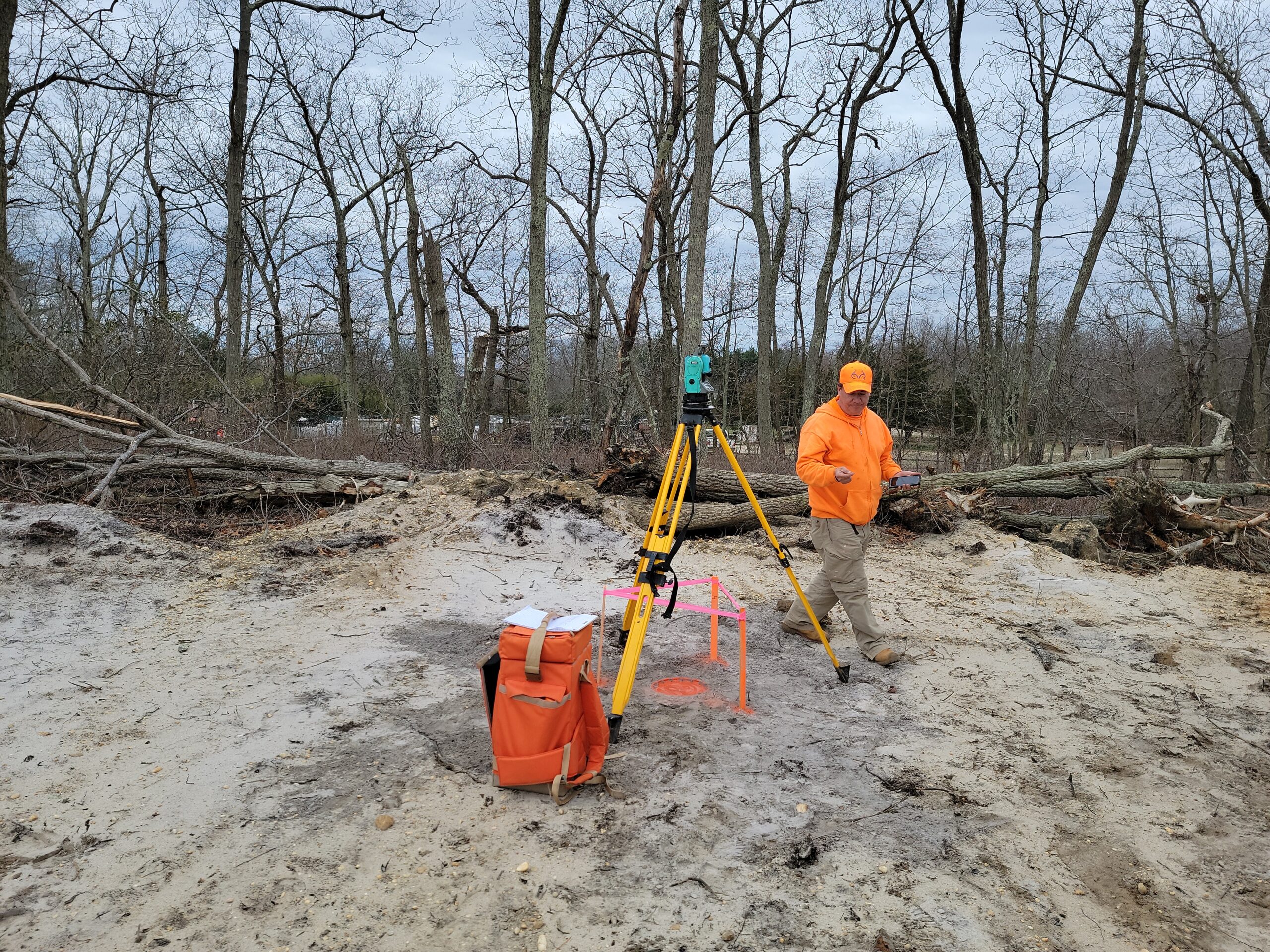
At First Sight Surveying, we offer topographical surveys that provide a comprehensive understanding of the physical characteristics of the terrain. These surveys are essential for a wide range of projects, from construction and land development to environmental planning and infrastructure design.
Why Are Topographical Surveys Important?
Topographical surveys offer several critical benefits for various industries and projects:
1. Construction:
Architects, engineers, and construction professionals use topographical surveys to understand the land’s features, helping them plan and design structures that align with the terrain.
2. Land Development:
Developers rely on topographical surveys to assess the feasibility of a development project, ensuring that it complies with local regulations and environmental considerations.
3. Environmental Planning:
Environmental experts use these surveys to evaluate the impact of development on the environment and identify areas that need protection.
4. Infrastructure Design:
Civil engineers and infrastructure planners utilize topographical data to design roads, utilities, drainage systems, and more.
5. Flood Risk Assessment:
Topographical surveys help in assessing flood risks by providing information on elevation changes and natural drainage patterns.
What Is a Topographical Survey?
A topographical survey, often referred to as a topographic survey, is a detailed and accurate representation of the natural and man-made features of a specific area of land. It provides valuable information about the land’s contours, elevation changes, existing structures, vegetation, utilities, and more. These surveys are typically conducted by land surveyors with expertise in assessing and mapping the physical characteristics of the land.

Our Topographical Survey Services
At First Sight Surveying, we take pride in delivering high-quality topographical surveys that meet the specific needs of our clients. Our experienced surveying professionals use advanced equipment and technology to collect precise data, ensuring that our surveys are detailed and accurate.
We tailor our topographical surveys to suit the unique requirements of each project. Whether you’re planning a construction project, environmental assessment, or land development, our surveys provide you with the critical information you need to make informed decisions and proceed with your project confidently.
When you choose First Sight Surveying for your topographical survey needs, you’re choosing a dedicated partner committed to excellence and precision. Contact us today to schedule your topographical survey and experience the difference that professionalism and expertise can make in your project’s success.
Call For a Quote:
(201) 366-3229
Related Services
Mapping
Precise measurement, representation, and analysis of geographic data to create accurate maps essential for land development, infrastructure planning, and decision-making.
Construction Layout
The precise marking and positioning of structures and features on a construction site based on approved plans, ensuring accurate implementation of design specifications.
CAD Services
Utilizing advanced computer-aided design technology to transform collected field data into detailed and accurate digital maps, plans, and drawings for a range of engineering and land development applications. We can also use data or maps you provide to digitize!


