TITLE SURVEYS
First Sight Surveying provides comprehensive title surveys, which are crucial to real estate transactions. Our team of experienced professionals conducts these surveys carefully to ensure clarity and confidence in property boundaries, making them a vital component for both buyers and sellers.
Why You Need a Title Survey
When investing in real estate, a Title Survey can provide invaluable benefits, including:
1. Confirmation of Property Boundaries:
A Title Survey confirms the exact boundaries of the property, providing peace of mind to both the buyer and lender.
2. Title Insurance Requirement:
Most lenders require Title Surveys for title insurance, which protects against unexpected disputes.
3. Protection from Hidden Issues:
A title survey can uncover hidden issues such as encroachments, easements, and boundary discrepancies that may affect the property value or intended use.
4. Clarity in Legal Descriptions:
5. Evidentiary Value:
Title Surveys are critical evidence in boundary disputes and litigation related to property.
What Is a Title Survey?
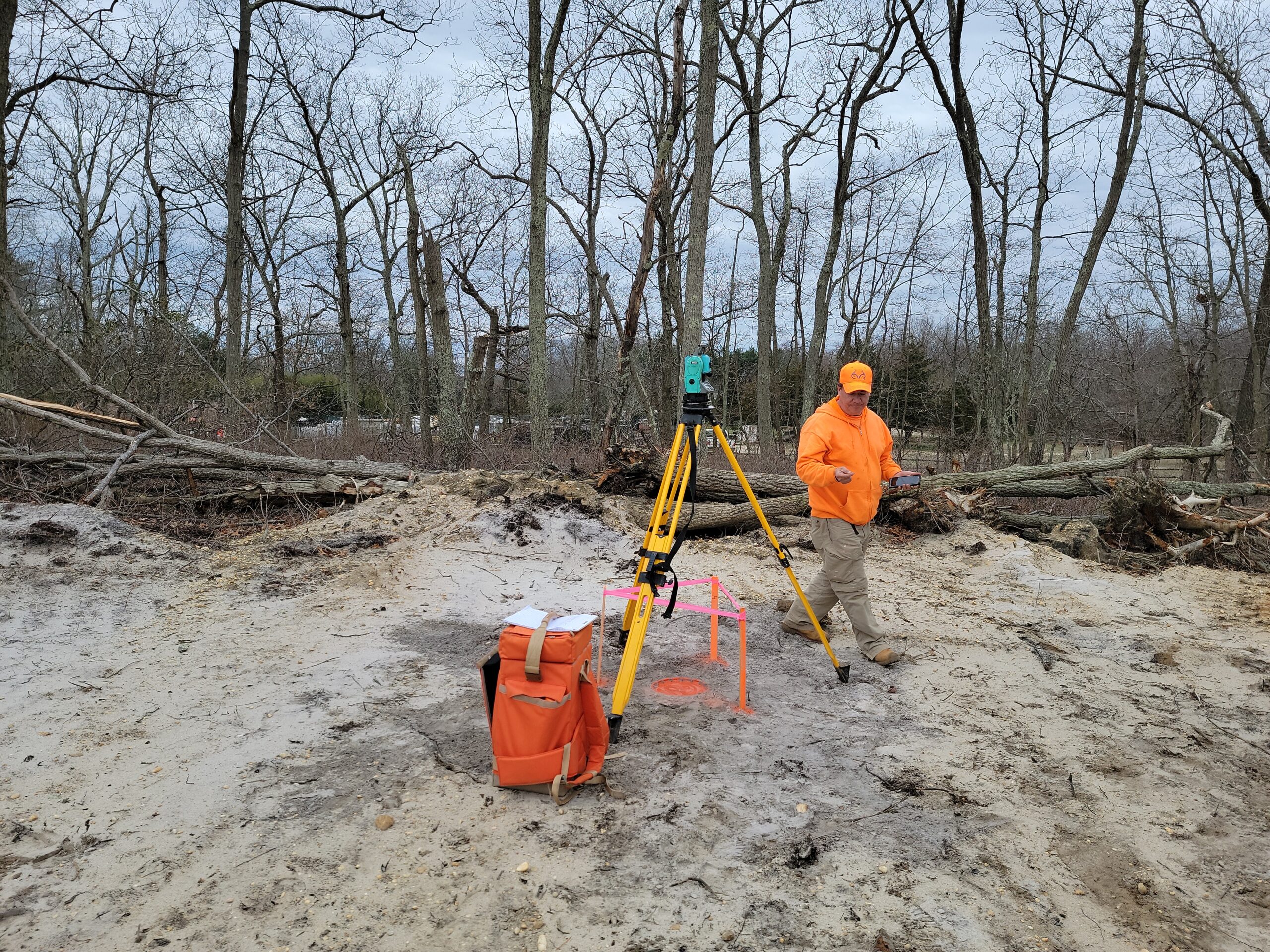
The Title Survey is a detailed, accurate representation of a property’s boundaries as compared to existing map lines, recorded deeds, and relevant reference materials done by a licensed land surveyor. An in-depth field survey provides a clear understanding of the property’s physical extent by investigating boundary locations, ownership lines, rights of way, and easements.


The Role of Title Surveys
A title survey is a property survey that primarily serves title insurance purposes. As a result, buyers and lenders need to know the property’s boundaries and encumbrances in great detail.
Our Commitment to Excellence
First Sight Surveying is committed to conducting outstanding title surveys. We provide high quality surveys that meet industry standards thanks to our experience in boundary law. Choosing us for your Title Survey needs gives you clarity, accuracy, and confidence.
Contact us today to schedule your Title Survey and experience the difference that precision and expertise can make in your property dealings.
Call For a Quote:
(201) 366-3229
Related Services
Mapping
Precise measurement, representation, and analysis of geographic data to create accurate maps essential for land development, infrastructure planning, and decision-making.
Construction Layout
The precise marking and positioning of structures and features on a construction site based on approved plans, ensuring accurate implementation of design specifications.
CAD Drawings
Utilizing advanced computer-aided design technology to transform collected field data into detailed and accurate digital maps, plans, and drawings for a range of engineering and land development applications. We can also use data or maps you provide to digitize!


